The Annapurna Circuit Trek
Published: 15th Jan, 2020
The Annapurna Circuit Trek is famous for scenery and cultural diversity. Moreover, these make Annapurna Circuit Trek one of the best treks in Nepal.
Since it was opened to the foreigners in 1977, this trek around Annapurna has become the most popular trek in Nepal. This trek passes through a diversity of landscapes and through a country inhabited by a wide diversity of people following different cultures. It offers spectacular mountain views and it goes to the north of the main Himalayan range to dry Tibet-like trains Himalaya.
The Annapurna Circuit Trek is usually walked counter- clockwise due to the steepness of the track to Thorung La (the highest pass in the world). This pass at an altitude of 5416 from the sea level becomes impossible to tackle during mid-December to mid-March due to the snow.
After crossing Thorung La from from Manang, the final eleven days of the Annapurna Circuit trek is same as the Jomsom trek from Pokhara.
Itinerary
Day 01: Kathmandu to Besi Sahar
The trekking start point is a long way from Kathmandu. After driving 137 km from Kathmandu to Dumre, buses and 4WDs are available regularly to Besi Sahar at 820m. Your overnight will be arranged in a local tea house.
Day 02: Beshi Sahar to Bahundanda

This is the first day of your Anaapurna Circuit Trekking. The trail follows the gentle slope of Marshyangdi river to Khudi. This is the first Gurung village you will encounter. Furthermore, the Khude trail offers fine views of Himchuli and Ngdi Chuli climbing at Bhulbhule. Now you enter the Annapurna Conservation Area and you must register at ACAP checkpoint.
Your trekking permits will have been already issued by the local travel agency in Nepal prior to your arrival.
The trail then goes to Nagdi before reaching Lampata at 1135m and Bahundanda at 1310m.
Day 03: Bahundanda to Chamje

Today start trekking through the steep trail until you arrive Lili Bhir. The trail then crosses the Marshangdi river on a suspension bridge. The path then follows the river until arriving to the stone village of Jagat. The trail descends before climbing through the forest to Chaje 1400m.
Day 04: Chamje to Bagarchhap

Today the rocky trail follows the Marshyangdi steadil uphill to Tal at 1700m. Here, ancient landslides fills the valley. Tal is the first village in Manang district. Further, the trail crosses the valley floor and climbs a stone stairway before dropping down to another crossing of Marshyangdi river. The trail them continues to Dharapani at 1920m,which is marked by stone-entrance.
Bargachhap at 2160m, has houses of typical Tibetan style with flat-roof.
Day 05: Bagarchhap to Chame
Today, the trail is rough and rocky which climbs to Lattemarang at 2440m. Further, the trail continues through the pine and fir before arriving Chame.
Chame, at 2710m, is the headquarter of Manang districts. There are many restaurants, lodges, a health post, and a bank. You will pass through the large main wall entrance with many prayer wheels. The views of Annapurna II are simply outstanding.
Day 06: Chame to Pisang

The trail runs through deep forest in a steep and narrow valley, and again crosses the south bank of the Marshyangdi River. The view from here includes the soaring Paungda Danda rock face. This rock face is an awesome testament to the power of glacial erosion. The trail then continues to climb to Pisang which sprawls between 3240m and 3340m.
Day 07: Pisang to Manang

Today, the walk is through the drier part of the Manang district. This region gets a little rainfall as it lies in the shadow of Annapurna range, which blocks the monsoon cloud. The people living here heard yaks and raise crops for the part of the year.
From Pisang there are two trails, north and south of Marshyangdi River. which meet up again at Mungji. The southern route involves less climbing than the northern route. Further, the trail continues to Mungji at 3480m past the picturesque, but partially hidden village of Bryaga at 3500m to Manang at 3570m.
Day 08: Acclimatization Day in Manang
It is very important to spend a day acclimatizing in Manang before pushing on to Thorung La. In Manang. Moreover, in Manang there are fine day walks and magnificent views around the village.
Manang is a trading center and the locals have cottoned on to what trekkers want. They sell film, batteries, sunscreen, snickers and just about everything.
Day 09: Manang to Letdar
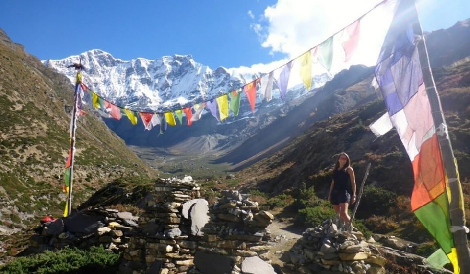
Form Manang it’s an ascent of nearly 2000m to the Thorung La. The trail climbs steadily through. Furthermore, the vegetation becomes steadily sparser as you reach Letdar at 4250m.
Day 10: Letdar to Thorung Phedi
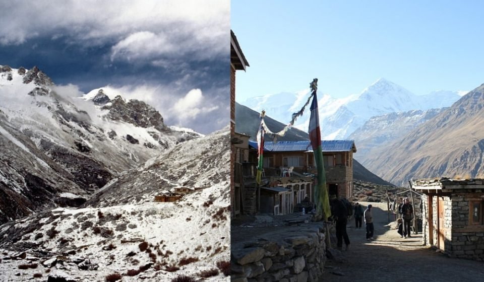
Today, you will cross the river and climb up to Thorung Phedi at 4420m. At the height of the best time for the Annapurna Circuit trek as much as 200 trekkers a day may cross Thorung La. At this altitude, some trekkers find themselves suffering from Altitude Mountain Sickness (AMS). If you find yourself in this situation, inform your guide immediately who will bring you downhill.
Day 11: Thorung Phedi to Muktinath

Phedi means ” Foot of the Hill” and that’s where it is, at the foot of the 5416m Thorung La. The trail climbs steeply. The altitude and snow may be the problem this day. Furthermore, if the pass is snow-covered, it is often impossible to cross. It takes about four to six hours to climb up the pass marked by chortens and prayer flags. The view from the top makes this climb worthwhile. The views from the top extends from the Annapurna, along the great barrier to the barren Kali Gandaki valley. From the pass there is a tough, decent of 1600m to Muktinath at 3800m.
Day 12: Muktinath to Kagbeni

From Muktinath the trail descends steeply through the desert landscape, past meadows and streams to the village of Jharkot at 3500m. Further, the trail descends to medieval-looking village of Kagbeni at 2810m. This Tibetan- influenced settlement has a number of good lodges, and is as close as you can get to Lo Manthang, the capital of Mustang further to the north.
Day 13: Kagbeni to Marpha

The trail continues towards Jomsom at 2710m. Jomsom is the major center of the region. Further, it is the first Thakali village you will encounter. As you continue, you will arrive Marpha, at 2680m, virtually huddled behind the ridges to keep out the wind.
Day 14: Marpha to Larjung
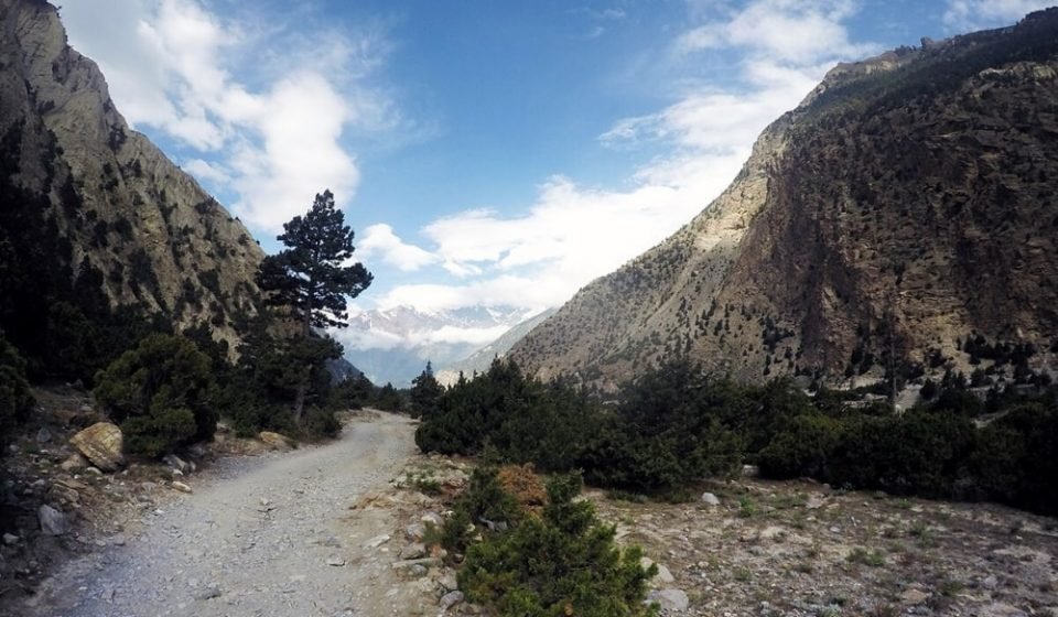
Today starting walking towards Tukuche at 2590m. Tukuche is one of the most important Thakali village, once a meeting place for traders from Tibet. Pass Tukuche until you arrive at Khobang at 2580m. This is a village with Gompa over it. Furthermore, the mountain views on this stretch is the best. Continue onto Larjung at 2570m. This village has an interesting alleyway and tunnels between the houses.
Day 15: Larjung to Ghasa
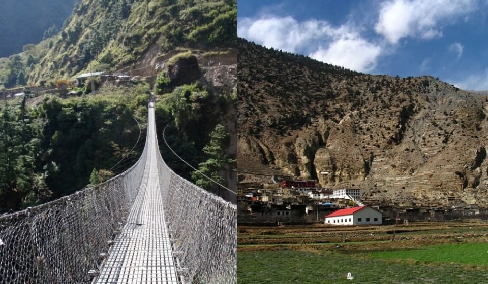
The day starts off with the road continuing over the bridge into the woods on the other side. This is an insanely beautiful walk through the little villages that offer amazing views of Annapurna I. today the walk is beautiful and not too long, until arriving Kalopani. Further, a steep descent through the forest will take you to Ghasa, the last Thakali village, at 2120m.
Day 16: Ghasa to Tatopani

This day, the path goes down to the Kali Gandaki gorge, the deepest gorge in the planet. This gorge is located between the Annapurna (8091m) and Dhaulagiri (8167m) peaks. And afterward, the path starts delicately down to the Rupchechhara waterfall. Rupchechhara is the most delightful waterfall in Nepal, where you can snap a photo of the waterfall before pushing forward to Tatopani at 1190m. Tato signifies ‘hot’ and Pani is ‘water’, a name earned affability of the underground aquifers by the waterway.
Day 17: Tatopani to Shikha
After breakfast, follow the Kali Gandaki trail for around 10 minutes crossing a suspension bridge and next in almost no time again climb over an old vaporous suspension bridge. As the path drops up through Durbin Danda, the slopes are broadly terraced. Sikha is an enormous town with shops and inns, from that point the path climbs delicately to Ghara at 1705m. The path makes a rising steeply to Shikha at 1935m
Day 18: Shikha to Ghorepani

The path keeps climbing to Ghorepani by means of Chitre. Pass through green grand patios and towns and Rhododendron woodland. Walking through this path during March and April will be brilliant with blossoming rhododendrons everywhere. The last 10 minutes drive you up the path with some lofty rising through foundations of Rhododendrons and then you arrive at astounding Ghorepani at 2750m.
Day 19: Ghorepani to Poon Hill and Tadapani

Early morning, hike up to Poon Hill at 3210m. This viewpoint provides great perspectives on the dawn and an all encompassing perspective on the Himalayas, including Mt. Dhaulagiri, Annapurna South, Fishtail, and others. In the wake of visiting Poonhill, we will return to Ghorepani, have our morning meal, and keep strolling to Tadapani at 3210m.
Day 20: Tadapani to Ghandruk
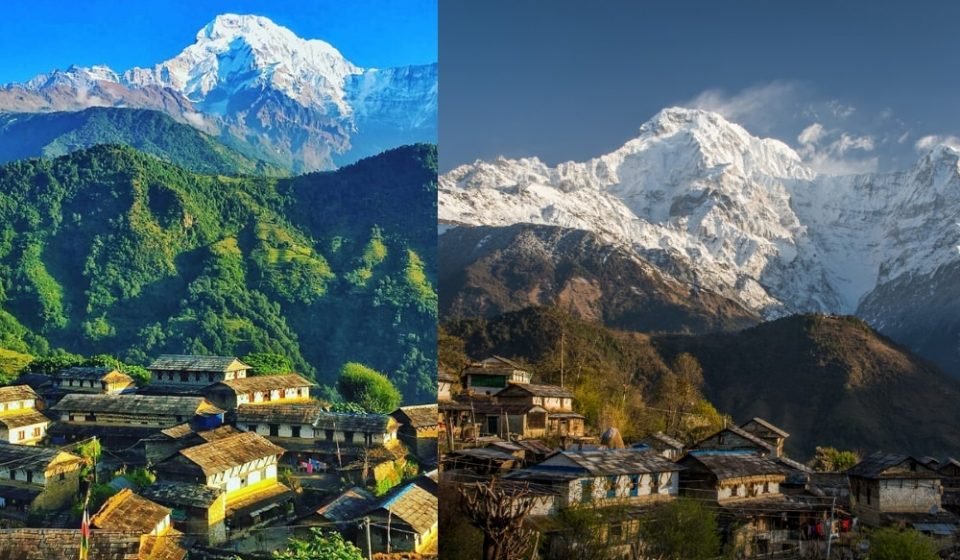
The Ghandruk trail dives steeply through woods to the town of Ghandruk at 1950m where we will land around early afternoon. Appreciate the perspectives on the cascades, scenes, Annapurna South, Himchuli, Fishtail and some more.
Day 21: Ghandruk to Nayapul and Pokhara
This day, for the most part stroll down where the path with stone stairs. This is an exquisite climb through nature with wonderful view of the rice field with towns along the path. The last two of the path follows the Modi River. At Birethanti, meet an intersection for Ghorepani before intersection a scaffold. In this manner, the path proceeds for thirty minutes more to reach Nayapul where you will take a car and drive to Pokhara.
Day 22: Pokhara to Kathmandu
Drive back to Kathmandu (205 km/6 hour drive)
You may contact us if you wish to arrange The Annapurna Circuit Trek through us.
